Good things are happening in Utah regarding the Public Land Survey System (PLSS), also known as the township, range, and section grid, which forms the foundation for GIS map representations of public and private lands and other related Utah map layers.
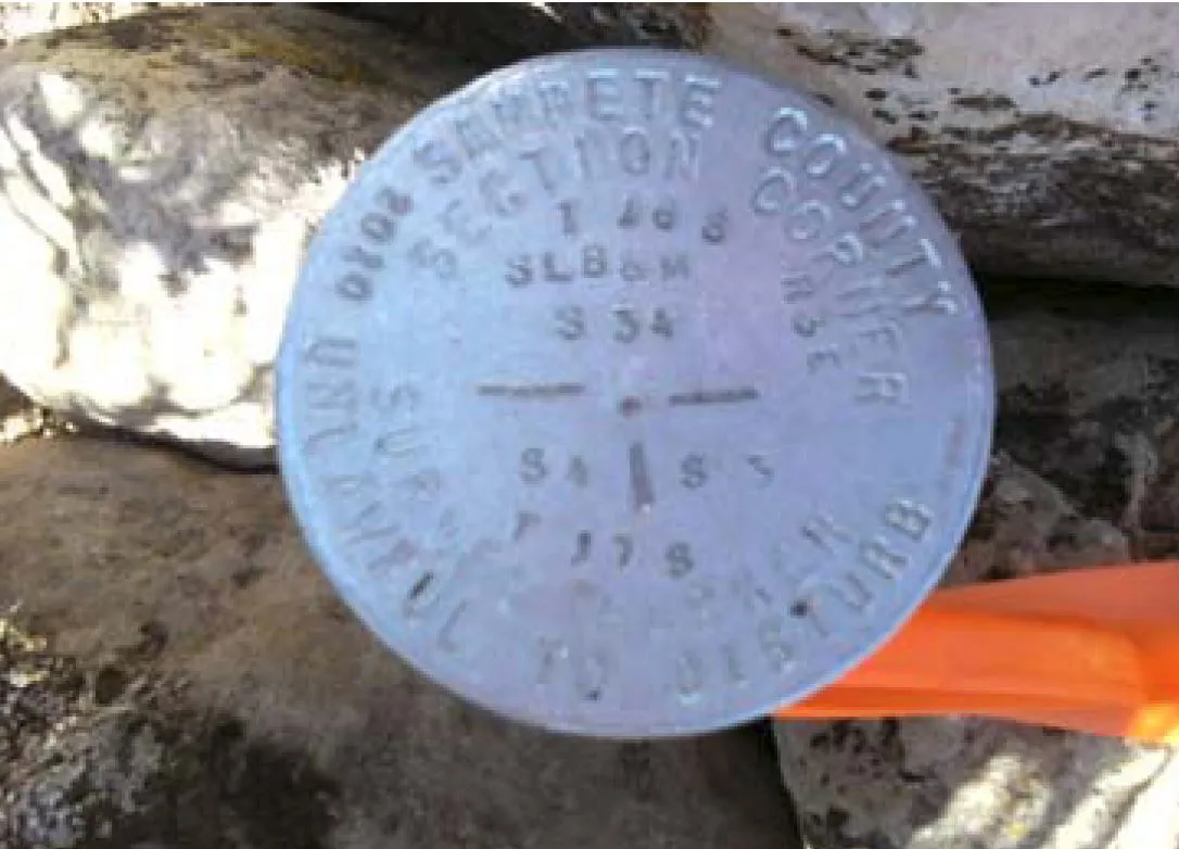
The PLSS grid is physically defined on the ground in the form of survey monuments of various types. These take forms ranging from etched rocks to modern post and caps.
Two parallel developments — state stewardship of the PLSS GIS layers and the establishment of the Monument Replacement and Rehabilitation Committee and associated grant program — will improve and protect the PLSS as both physical and information resources.
State Stewardship of the PLSS GIS Layers
This August, the State of Utah negotiated and signed a Memorandum of Understanding, opens in a new tab (MOU) with the BLM to take over stewardship of the PLSS corner point and township, range, and section GIS layers. The goal of the MOU is to improve the spatial accuracy of this dataset by incorporating locally collected survey control, incorporating a change management process, and adopting the ESRI Parcel Fabric data model for the ongoing maintenance of Utah’s PLSS dataset.
The MOU establishes roles and responsibilities for UGRC, SITLA, and the BLM:
- UGRC will host and steward the PLSS database and will validate and integrate local survey control collected by Counties and private surveyors submitted through data sharing and/or the Utah PLSS Corner Management Web Application, opens in a new tab.
- BLM is facilitating the conversion of existing PLSS data into the parcel fabric data model and will contribute future survey control that it collects.
- SITLA will also contribute high precision survey control and will work with UGRC to develop a process by which the land ownership GIS layer will be updated in concert as an associated fabric layer.
This approach just makes too much sense. Having all three stakeholder organizations actively participating and providing ongoing guidance to the project should result in an excellent, quality product. And, with possible additions of other land-owning agencies who may wish to participate by adding additional associated layers, the new platform has the potential to provide for greater efficiencies and an improved digital model of land ownership in Utah.
Monument Replacement and Restoration Committee (MRRC)
As property descriptions are all ultimately described using the exact location of the physical survey monuments as a starting point, it is important that the monuments are protected, and as a backup, their locations are collected and preserved.
A mechanism to protect these monuments and enhance the PLSS was created in Senate Bill 264 which passed in the 2015 Utah Legislative General Session. SB 264 established the Monument Replacement and Restoration Committee (MRRC) as well as seed funding to establish a County grant program (UCA 63F-1-510, opens in a new tab).
In addition to creating the MRRC, this bill establishes and amends provisions relating to PLSS survey monuments and clarifies reporting requirements and creates a process for the protection of survey monuments.
The MRRC met for the first time on September 17, 2015. The committee is staffed by Sean Fernandez, UGRC’s cadastral surveyor, with membership also including five County Surveyors, one representative from SITLA and one representative from the Utah Department of Natural Resources.
Goals were set in the first meeting to provide resources for Counties to protect, restore, rehabilitate and perpetuate PLSS Corners within the State of Utah and make the information available and accessible to the public and government agencies on the web for use toward the public’s best interests.
The MMRC expects to begin accepting application from Counties to perform monument restoration and replacement projects in January 2016, and will award grants to high priority/need projects. Grant information will be sent to county officials prior to January 1st including submission instructions.
Those performing the work will be encouraged to submit PLSS corner data electronically to UGRC using the Utah PLSS Corner Management Web Application, opens in a new tab.
Comments, questions, compliments, or concerns can be directed to: