From the blog
Currently displaying: Jake Adams
Updated Hillshade Basemap Now Available (2 min)
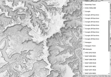
Have you ever wanted to use our awesome skyshade/hillshade in your own maps? Now you can! For years we've offered up a basic multi-directional hillshade service in our Discover basemap and imagery ser
SGID Data Updates: New 10m DEMs (4 min)
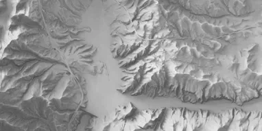
Now that the US Geological Survey (USGS), in cooperation with UGRC and the Federal Emergency Management Agency (FEMA), have completed the initial acquisition of 0.5- or 1-meter resolution lidar data a
Desktop Shorts: Streaming Down the GDAL Pipeline (4 min)
In May of 2025, GDAL (the Geospatial Data Abstraction Library) released version 3.11 of their ubiquitous raster (and vector) processing library and related tools. As part of their focus on the CLI exp
Python Shorts: Point Me to the Nearest Points with GeoPandas (5 min)
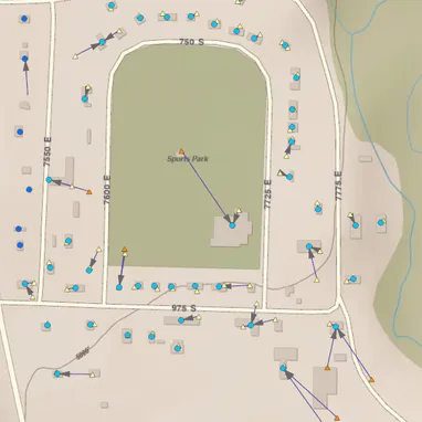
One analysis that comes up regularly in GIS is figuring out the relationship between two different sets of data. For example, let's say we've got an address point layer (symbolized with circles) and a
Introducing New and Improved Residential Broadband Data and Maps (7 min)
If you've ever used our broadband service layer, you'll know it's rather unwieldly. Today, in partnership with the Utah Broadband Center (UBC), we're excited to announce a new version of our residenti
Getting Better Resolution from Raster Tile Imagery in Large Maps (5 min)
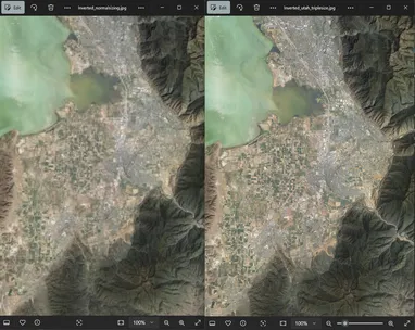
Have you ever added one of our WMTS Discover imagery layers to a map covering a large extent (a small-scale map) in ArcGIS Pro and tried to export it to a large PDF, only to have the imagery come out
Python Shorts: Pivoting in Pandas (10 min)
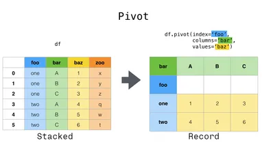
When we analyze a GIS layer, we often want to use one of the attributes to group the features and see how other attributes differ amongst the groups. For many GISers, it's second nature to do this vis
Introducing palletjack: Updating AGOL feature services from external sources (6 min)
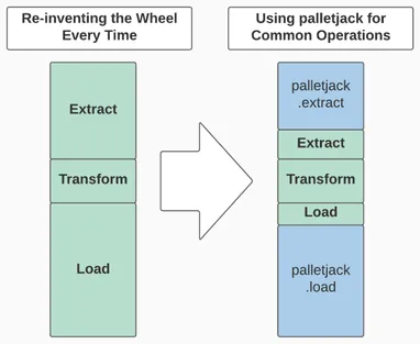
From the I Love Being Lazy department Do you hate writing the same bits of code over and over again? Do you hate fixing the same thing again and again? Do you think "there's got to be a way to do that
Utah Crushes Broadband Challenge through Collaboration (5 min)
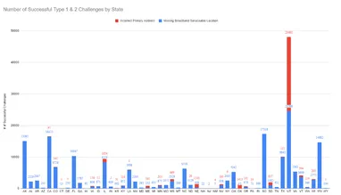
From the I Challenge You to a Duel department Among the many lessons the Covid-19 pandemic taught us, we learned two things about high-speed internet. First, high download and upload speeds are necess
Python Shorts: Loading an Open SGID Layer into pandas (3 min)
There are a myriad of ways you can access data from the Open SGID. However, these all require some form of desktop client application. What if you want programmatic access to our spatial data? Because
Aggregating and Analyzing Point Data with H3 Hexes and Pandas (10 min)
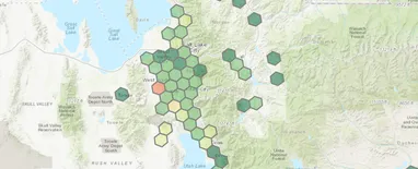
I recently discovered Uber's open-source H3 geospatial indexing system while working on a project with a lot of point data. This is a great tool for aggregating points into regularly-sized polygon geo
Python Shorts: The Benefits of Unit Testing (6 min)
In the realm of programming, "unit testing" is an automated way of testing small, individual "units" of your code to ensure that when given a specific set of inputs they return a specific set of outpu
Python Shorts: Flattening Arrow Code (5 min)
"Arrow Code" refers to a series of nested if statements that increase your indentation level at each statement, creating an arrow of whitespace when the ifs are mirrored by accompanying else blocks. W
Choosing the Right Transformation (8 min)
From the I Hate Slivers department Modern GIS software goes to great lengths to automate the mundane tasks and hide the boring stuff from us. As a relative newcomer to the field, I've heard the old-ti
Utah's COVID-19 Testing Sites Map: The Importance of Relationships and Resources (7 min)
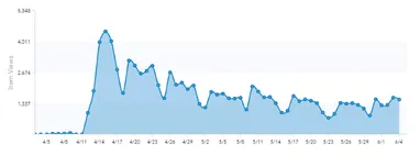
Ninety-nine times out of a hundred, whenever you create a webmap you're anxiously hoping people will use it. I remember watching the stats for my first real webmap, hoping I'd break a hundred views. 1
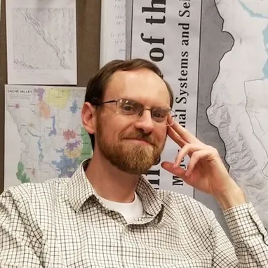
Meet Jake Adams - New UGRC Staff (4 min)
UGRC would like to welcome Jake Adams to the team! Jake will be using his GIS experience working with Cache County and Taylorsville City, as well as his Master of Urban and Regional Planning Degree, t