USGS Scanned Topographic Maps
Last update · 2008
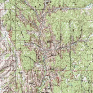
The SGID contains complete statewide coverage of scanned standard series U.S. Geological Survey topographic maps, also known as Digital Raster Graphics (DRGs). UGRC has modified these DRGs so that they are available collared and collarless and are projected to UTM NAD83 Zone 12 North. For all available USGS Topographic Maps, including the latest GeoPDF, visit The National Map TNM Download application , opens in a new tab or topoView , opens in a new tab .
Get the data
Download via the raster app
A closer look
The Vintage category contains the older 7.5, 15 and 30-minute U.S. Geological Survey topographic quadrangle maps from 1900-1966. They were scanned by the Utah Geological Survey (UGS) at a resolution of 500 dots per inch (dpi). These digital scans were also enhanced in Adobe Photoshop as needed and 16 point spline georeferencing was applied to the images. There is not a statewide collection of these vintage topographic maps and they have a NAD27 Datum.
More resources
1:24,000 topographic maps
Download from raster app.
1:100,000 topographic maps
Download from raster app.
1:250,000 topographic maps
Download from raster app.
1:500,000 topographic map
Download Statewide 500K Topographic Map (NAD27)
Vintage topographic maps
Download from raster app.
Utah Geological Survey (UGS) Scanned Aerial Imagery
1935-Present scanned aerial imagery.