From the blog
Currently displaying: geocoding
The Geocoding Toolbox is being deprecated (2 min)
Back in 2014, we released a custom python toolbox for ArcGIS Desktop called the Geocoding Toolbox. It allowed users to geocode Utah addresses using the UGRC API. It was a great tool for the time, but
Introducing Masquerade (2 min)
Masquerade is a new proxy service hosted by UGRC that makes our geocoding service and Open SGID datasets easily accessible in Esri products. It does this by impersonating an Esri locator service. You
Introducing the Official UGRC API Client (2 min)
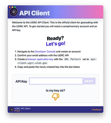
Assigning a geographic coordinate to an address, otherwise known as geocoding, is one of the simplest ways to enable data to be visualized on a map. This makes geocoding a gateway to a Geographic Info
Rethinking Geocoders: Adding Local Vernacular into the Build Process (5 min)
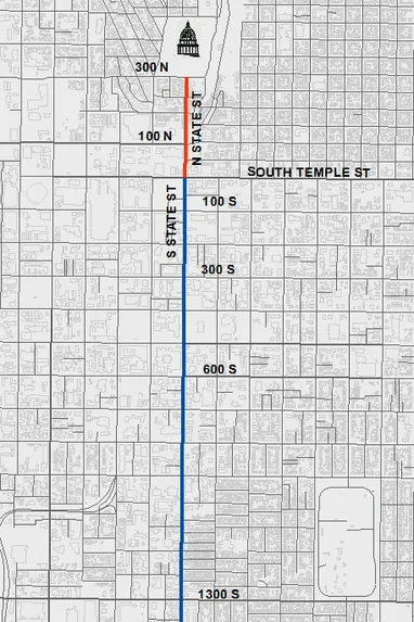
UGRC has been working on a project to enhance our approach to geocoding. This grew from the basic idea that humans often view addressing differently than a GIS system. For instance, as GIS professiona
Authoritative Utah Geocoding Results (4 min)
The UGRC web api is a great resource for deriving information from the SGID. Geocoding an address is one of the more popular and useful free services. But it is important that users have confidence in