From the blog
Currently displaying: ArcGIS Pro
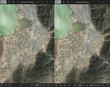
Getting Better Resolution from Raster Tile Imagery in Large Maps (5 min)
Have you ever added one of our WMTS Discover imagery layers to a map covering a large extent (a small-scale map) in ArcGIS Pro and tried to export it to a large PDF, only to have the imagery come out