Digital Orthophoto Quadrangle (DOQ)
A Digital Orthophoto Quadrangle (DOQ) is a digital image that has the properties of an orthographic projection, derived from a digitized perspective aerial photograph or other remotely sensed image data by differential rectification so that image displacements caused by camera tilt and terrain relief are removed. The DOQ combines the image characteristics of the original photograph with the georeferenced qualities of a map. Ground features are displayed in their true position, allowing for the direct measurement of distance, areas, angles, and positions.
All DOQs have a UTM NAD83 Zone 12 North meters projection with the exception of the 1936-1952 Soil Conservation Service Photomaps that have a NAD27 datum.
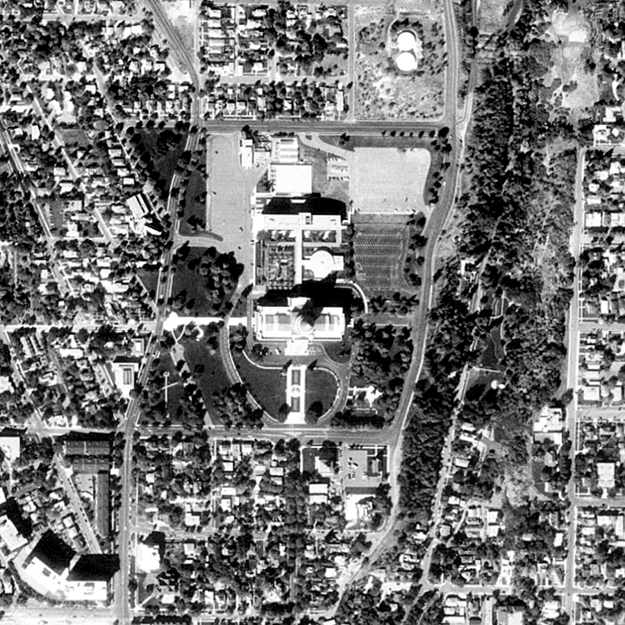
MID 1990'S BLACK AND WHITE DOQ
Statewide coverage of 1-meter resolution Black and White Digital Orthophoto Quads (DOQs). Some DOQs have 2 vintages , opens in a new tab of dates the images were flown. Usually one image will be from 1993 and another 1997 or newer. Refer to Find a DOQ , opens in a new tab for quadrangle names and associated UGRC Q number.
The .met metadata file is all the original header information from the image and contains the dates the
images were flown and photographed. For more information about these DOQs refer to the DOQ Information Sheet , opens in a new tab .
1936-1952 SOIL CONSERVATION SERVICE (SCS) PHOTOMAPS
1-meter Black and White Soil Conservation Service (SCS) Photomaps from 1936-1952. This is not a statewide
coverage. The date the photo was taken can be found for some of the tiles in the Year field of the UGS SCS Historical index shapefile , opens in a new tab .