From the blog
Currently displaying: All
Desktop Shorts: Streaming Down the GDAL Pipeline (4 min)
In May of 2025, GDAL (the Geospatial Data Abstraction Library) released version 3.11 of their ubiquitous raster (and vector) processing library and related tools.As part of their focus on the CLI expe
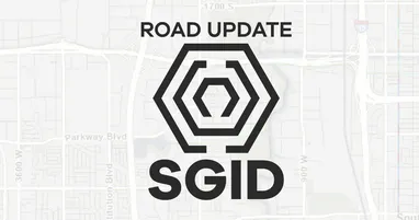
Utah SGID Statewide Roads Data Layer Updates (1 min)
UGRC recently completed updates to the SGID Roads data layer. Please visit our Roads and Highway System data page where you will find information about the Roads data model, as well as a web service l
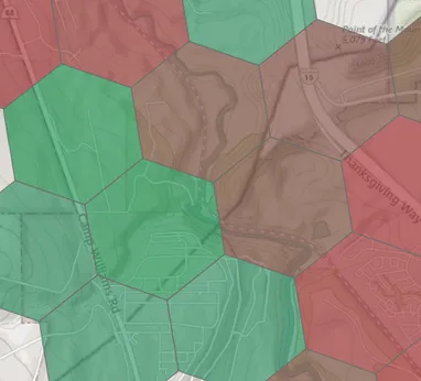
UGRC Aerial Imagery Survey (1 min)
The Utah Geospatial Resource Center (UGRC) is planning the next phase of our statewide high-resolution aerial photography program. Your feedback is critical to ensure the imagery meets your profession
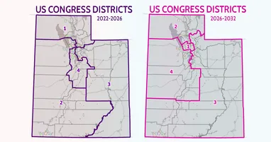
An Update on Redistricting (3 min)
It's been a busy few months in Utah, with a lot of uncertainty about congressional district boundaries. From a GIS data perspective, UGRC was aware that changes were likely, but we didn't know exactly
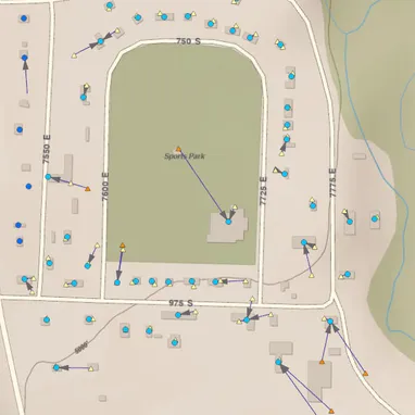
Python Shorts: Point Me to the Nearest Points with GeoPandas (5 min)
One analysis that comes up regularly in GIS is figuring out the relationship between two different sets of data. For example, let's say we've got an address point layer (symbolized with circles) and a
Introducing New and Improved Residential Broadband Data and Maps (7 min)
If you've ever used our broadband service layer, you'll know it's rather unwieldly. Today, in partnership with the Utah Broadband Center (UBC), This layer answers the question "what service is availa