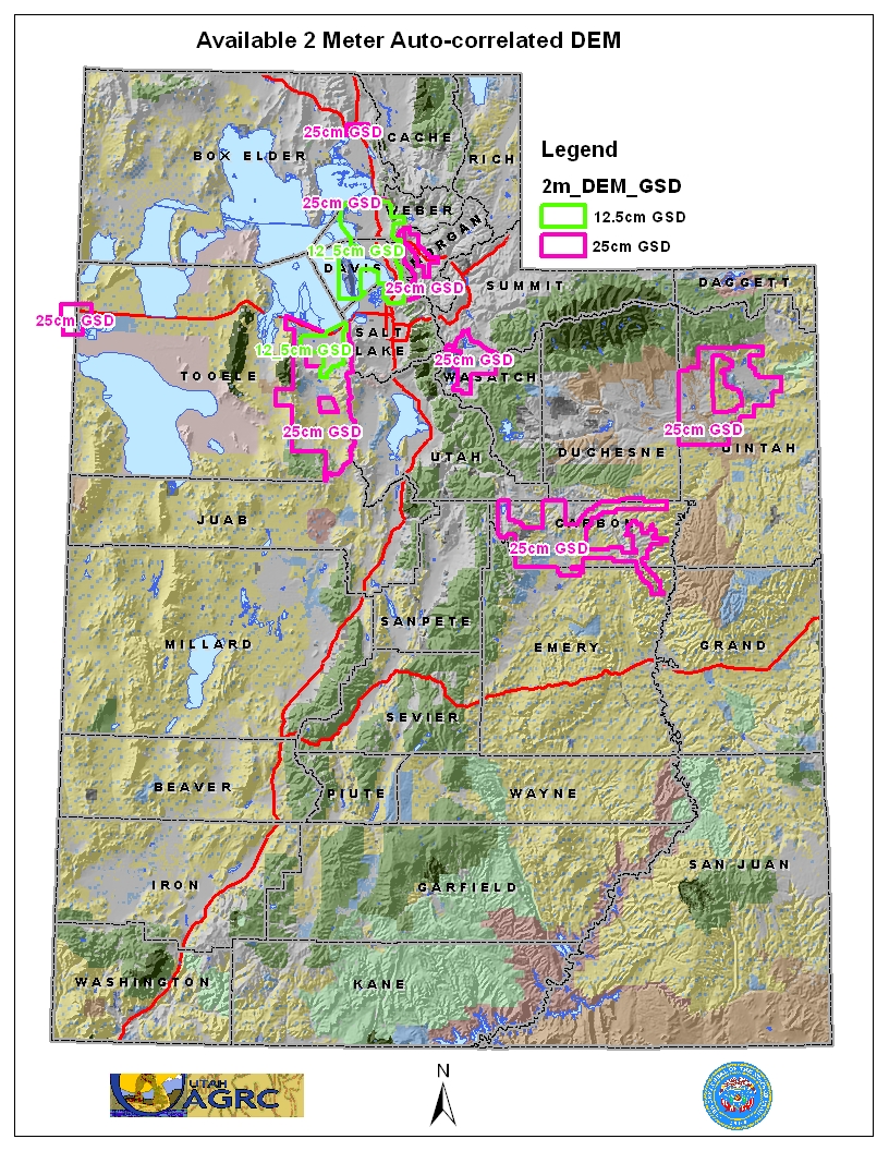
Auto-Correlated DEMs
Last update · 2006
UGRC has a statewide coverage of 5 meter Auto-Correlated DEMs in addition to some 2 meter areas , opens in a new tab . The DEMs were created from the imagery collected during the 2006 NAIP and HRO aerial photography flights. In the years since this dataset was created, more accurate digital elevation models are available. User are encouraged to consider the Lidar and USGS 3DEP Products available in Utah.
Warning
The auto-correlation process is not as rigorous as other methods of elevation modeling such as photogrammetry, Lidar mapping, radar mapping, etc, and therefore end-users should be aware that anomalies are expected within the elevation dataset.
Get the data
Download via the raster app
A closer look
The DEM files are stored as .asc formatted files and are ~10MB per 2,000 X 2,000 meter block. This data is in a UTM NAD83 Zone12 meters projection and you will need to define the spatial reference of the files as WKID 26912. The 2 meter DEMs have a Vertical Accuracy of RMSE 4.27' - NSSDA 95% 8.4' and a Horizontal Accuracy NSSDA, radial RMSE of 4.4', 95% confidence 7.6'. The 5 meter DEMs have a have a Vertical Accuracy of RMSE 4m - NSSDA 95% of 9.8m and a Horizontal Accuracy RMSE 3m, NSSDA 95% of 5.2m. For more information about the stated accuracy of the datasets please refer to the metadata and quality assurance reports below.
- Download quality assurance reports for the 5 meter , opens in a new tab or 2 meter , opens in a new tab DEMs.
- Download metadata for the 5 meter , opens in a new tab DEMs and the 2 meter DEMs derived from 12.5 cm , opens in a new tab or 25cm , opens in a new tab imagery.