From the blog
Currently displaying: All
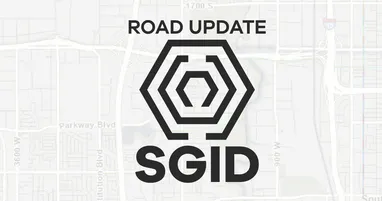
Utah SGID Statewide Roads Data Layer Updates (1 min)
UGRC recently completed updates to the SGID Roads data layer. Please visit our Roads and Highway System data page where you will find information about the Roads data model, as well as a web service l
Introducing the UGRC Data Feedback Form (2 min)
At the Utah Geospatial Resource Center (UGRC), we strive to keep the State Geographic Information Datasource (SGID) as accurate as possible. However, as Utah changes and grows, sometimes our data need
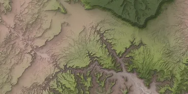
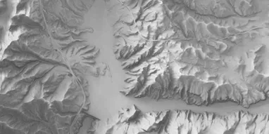
SGID Data Updates: New 10m DEMs (4 min)
Now that the US Geological Survey (USGS), in cooperation with UGRC and the Federal Emergency Management Agency (FEMA), have completed the initial acquisition of 0.5- or 1-meter resolution lidar data a
Desktop Shorts: Streaming Down the GDAL Pipeline (4 min)
In May of 2025, GDAL (the Geospatial Data Abstraction Library) released version 3.11 of their ubiquitous raster (and vector) processing library and related tools.As part of their focus on the CLI expe
UGRC Aerial Imagery Survey (1 min)
The Utah Geospatial Resource Center (UGRC) is planning the next phase of our statewide high-resolution aerial photography program. Your feedback is critical to ensure the imagery meets your profession