Through its Geospatial Excellence Awards, the National States Geographic Information Council (NSGIC), opens in a new tab recognizes individuals and organizations that advance the capabilities of geospatial technology, and promote NSGIC’s goals of efficient and effective government.
At NSGIC’s Annual Conference this September, two of the national geospatial excellence awards (see all, opens in a new tab) went to Utah-led initiatives.
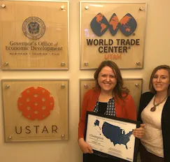
Kelleigh Cole and GOED, Champion Award
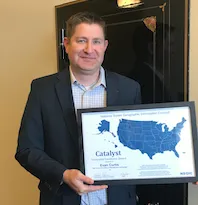
 Evan Curtis, Catalyst Award
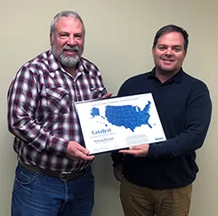
 Rod Bennett (left), Catalyst Award
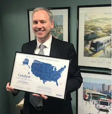
 Ted Knowlton, Catalyst Award
Champion Award: Utah Governor’s Office of Economic Development
Utah’s Governor’s Office of Economic Development, through its Broadband Outreach Center and Office of Outdoor Recreation, has championed the use of GIS and enterprise mapping initiatives to deliver value to Utah citizens and businesses. Projects include residential broadband mapping, commercial broadband availability, trail and recreational amenities GIS data layers, partner funding for high resolution aerial photography, and locate.utah.gov - Utah’s award-winning state economic development interactive map. In particular, Kelleigh Cole, Director of GOED’s broadband center, has been an active, supporting, and connecting partner to Utah GIS for the past 6+ years.
Catalyst Award: Utah Land Information Records (LIR) Initiative
The Utah Land Information Records workgroup, a multi-agency partnership of state and local government was formed and facilitated by Evan Curtis, the State Planning Coordinator in the Governor’s Office. Over several months, the group defined a best practice for the voluntary sharing of annual, detailed tax parcel data. This included conceptual recommendations and content guidance in the form of a data model. In its first year, 20 of 29 Utah counties contributed to this open, statewide GIS data layer that is used to support economic development, public safety, planning, and other important application areas. Rodney Bennett, 2016 Chair of the Utah Assessors Association, and Ted Knowlton, Deputy Director of Wasatch Front Regional Council, provided instrumental facilitation to the discussions that formed Utah’s approach to sharing this valued information.