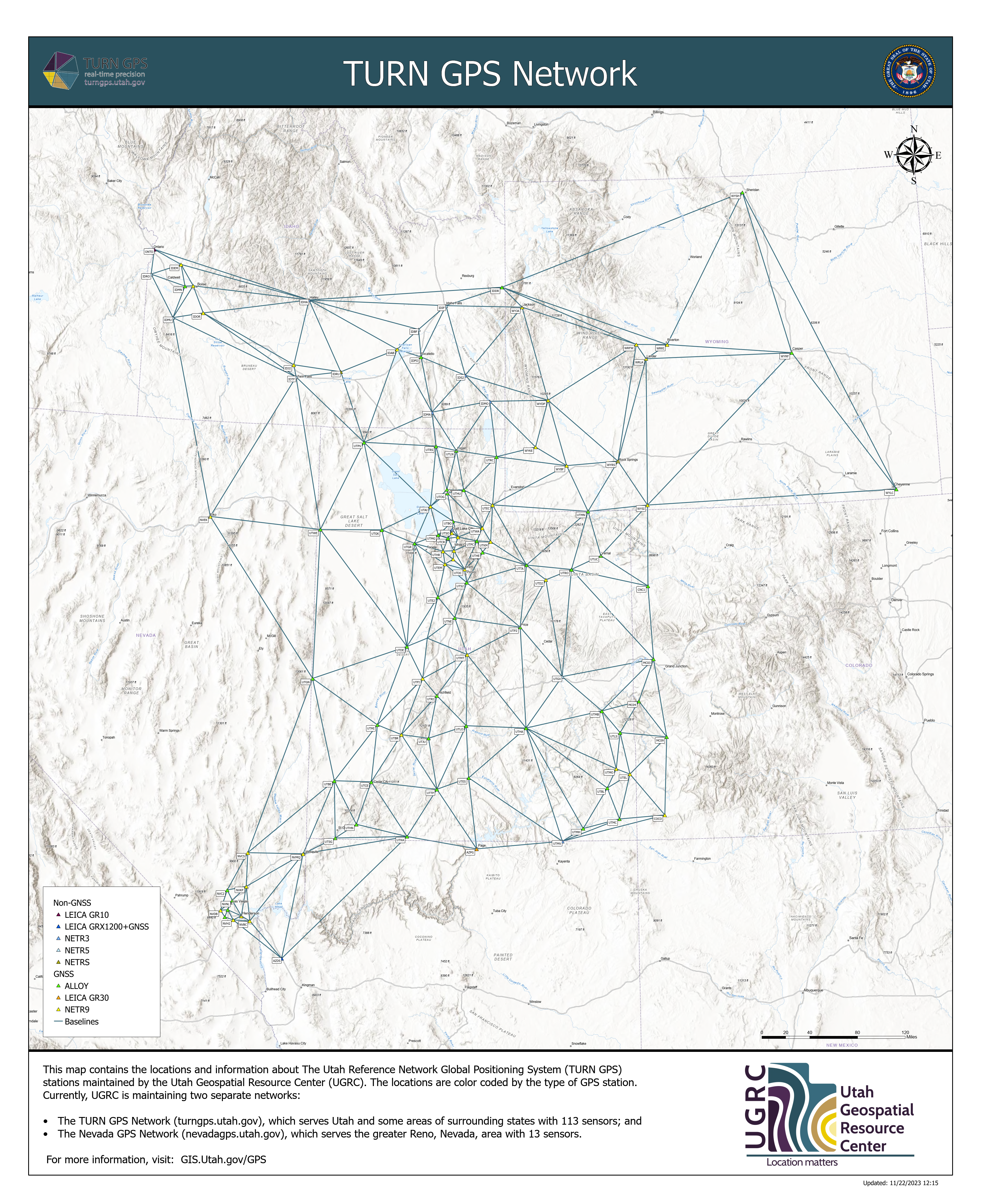
The Utah Reference Network (TURN) is a high-precision global navigation satellite system (GNSS) reference network providing real-time corrections and data for post processing. Our network consists of permanently located GPS receivers installed across Utah and portions of Idaho, Wyoming, and southern Nevada that generate real-time, high-accuracy GNSS positioning. These receivers send their data using the Networked Transport of RTCM via Internet Protocol (NTRIP) to a central system that analyzes the input to adjust and correct the data to provide the most accurate locations, usually down to centimeter level. Our network uses the Trimble Pivot VRS Platform.

Registration
Having centimeter precision is the new norm for surveying and mapping. Join the hundreds of others using the TURN GPS system to improve your accuracy. All that is required is a small yearly subscription and a few minutes to get started.

Get connected
Once you have a subscription you can connect to the network. We've put together guides for many popular devices. If you don't see your device listed, contact us and we'll help you get connected.

Documentation
There are many resources available to help you get the most out of the TURN GPS system. We've put together a list of the most popular resources to help you get started including site logs and maps.
