From the blog
Currently displaying: All
UGRC Purchase of Hexagon Imagery (4 min)
UGRC recently purchased a license to Hexagon’s statewide high resolution aerial photography (6” and 12” pixels) on behalf of Utah state, regional, and local government organizations. Since the purchas
Cognitive Maps - The Science Behind our Brain’s Internal Mapping and Navigation System (13 min)
I bet you remember where you were on the morning of September 11th, 2001 when you heard the news. I’d venture to say that you also remember the city, state, and room that you were standing in. But why
Automating Next-Generation 911 Law Enforcement Boundaries (3 min)
UGRC has created a Python script for law enforcement boundaries that automatically builds jurisdiction polygons based on existing boundaries (primarily county and municipal boundaries) in the State Ge
SGID Product Relaunch Update (6 min)
In a June 2019 post “SGID Then and Now,” we touched on where we thought the SGID is going. Based on the survey responses from that article, we have changed direction in some areas and taken on new tas
2019 and 2020 Utah Aerial Lidar Acquisition - Updated (3 min)
UGRC has awarded Aero-Graphics, Inc. and The Sanborn Map Company, Inc. to acquire of aerial Lidar elevation data. The Lidar will be a combination of USGS Quality Level 1 (), 8 points per square meter
Digital Maps - How Chance, Timing, and Heritage Shaped Modern GIS (24 min)
When you dig into the history of mapping, it's remarkable how certain things come about. If you zoom in far enough, you discover seemingly coincidental occurrences that ended up playing pivotal roles
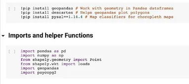
Using Jupyter Notebook for UGRC Collaboration (4 min)
At UGRC we greatly value collaboration and sharing ideas. A terrific technology to support these values is the Jupyter Notebook project.Jupyter Notebook consists of a web application tied to an interp
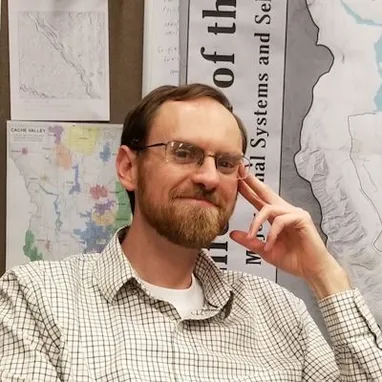
Meet Jake Adams - New UGRC Staff (4 min)
UGRC would like to welcome Jake Adams to the team! Jake will be using his GIS experience working with Cache County and Taylorsville City, as well as his Master of Urban and Regional Planning Degree, t
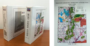
The SGID - Then and Now (8 min)
Access to high-quality GIS data is a privilege, and the fact that it's open and free is nothing short of amazing. Yes, I’m talking about Utah's SGID. From a local perspective, we’re all accustomed to